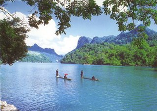
Avon Valley National Park, Australia
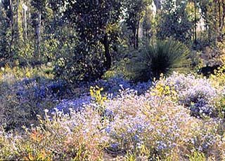
From summer to winter, from north to south, and from high outcrops to deep river and stream valleys, the forests of Avon Valley National Park are constantly changing. The Avon River flows in winter and spring when the river churns over spectacular rapids. During summer and autumn the river diminishes to a series of pools in a bed of granite boulders and tea-tree thickets. The park features forests and granite outcrops, panoramic views over the Avon Valley and the chance to see a wide variety of birds and wildlife.
Home: National Parks: Previous Parks of the Month: Avon Valley National Park
Avon Valley National Park Wildflowers in Avon Valley National Park
From summer to winter, from north to south, and from high outcrops to deep river and stream valleys, the forests of
Avon Valley National Park are constantly changing. The Avon River flows in winter and spring when the river churns over spectacular rapids. During summer and autumn the river diminishes to a series of pools in a bed of granite boulders and tea-tree thickets. The park features forests and granite outcrops, panoramic views over the Avon Valley and the chance to see a wide variety of birds and wildlife.
Visiting the park
The roads within the park are all unsealed. The nearest telephone, petrol and food outlets are at Gidgegannup or Toodyay, 30 kilometres from the park. There are some picnic facilities and basic camping sites. The small amount of development means much of the park has wilderness qualities. The best time to visit is during the cooler months.
The camping grounds have wood barbecues, picnic tables and pit toilets. Water is available in the Bald Hill and Homestead camping areas. A fee is charged for camping in the park. Go to the ranger's residence to pay fees. The steep and rough roads are not suitable for caravans and trailers.
If you intend to walk off the marked tracks or camp away from the camping grounds, please let the ranger know beforehand. It is suggested that you bring plenty of water and avoid strenuous walking on hot days. Make sure you have a topographic map and compass if you plan to go on the longer tracks. Bring binoculars and a camera for the views and wildlife.
The Avon River can be run by experienced canoeists in winter and is made famous by the Avon Descent each August. In summer the river slows to a trickle, becoming a series of shallow pools unsuitable for swimming.
More Information Travel Guide in Australia
Avon Valley National Park : 80 km north-east of Perth via the Toodyay Road. Turn left into Morangup Road, and left onto Quarry Road Australia
[Source : calm.wa.gov.au]


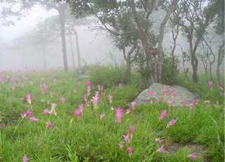 Do you know why the park is called that name? Pa Hin Ngam means the forest of spectacle rocks. Geographically, in the area, there are many rocks with different spectacle shapes, upon the seers’ imagination. Pa Hin Ngam National Park covers an area of 70,000 rai or 112 square kilometers. Most of the area is of the dense natural forest.
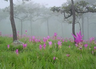 Well, let go inside the national park. If you drive yourself, you may park the car at the parking area, and take a mini bus, which is available only during the festival, with only 10 bath, to Dok Kra Jiew field. Walking? It can be. Is it too tiring? A bit, but it is worth walking to appreciate nature along the way leading to the field, (which is the climax!) especially in Do you know why the park is called that name? Pa Hin Ngam means the forest of spectacle rocks. Geographically, in the area, there are many rocks with different spectacle shapes, upon the seers’ imagination. Pa Hin Ngam National Park covers an area of 70,000 rai or 112 square kilometers. Most of the area is of the dense natural forest.
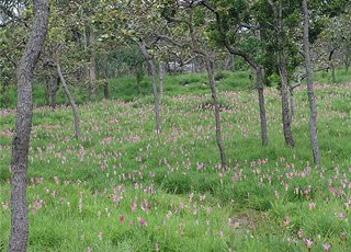 Well, let go inside the national park. If you drive yourself, you may park the car at the parking area, and take a mini bus, which is available only during the festival, with only 10 bath, to Dok Kra Jiew field. Walking? It can be. Is it too tiring? A bit, but it is worth walking to appreciate nature along the way leading to the field, (which is the climax!) especially in the morning. It is about 3.5 kilometers far in order to reach the end of the land bordering Central and Northeastern parts of Thailand, called Sood Pandin viewpoint, situated at an altitude of 846 meters above sea level, and it is only 2 kilometers away from the park’s headquarters. This is the first view stop that you should not miss.
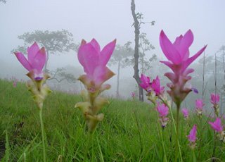 Being just a small part of tourism sector, Pa Hin Ngam National Park seems to serve for eco- tourists who quest for the truth of nature, or just want to study the nature of “Nature”. What you can expect is the color of forest, wildlife, and misty surrounding.
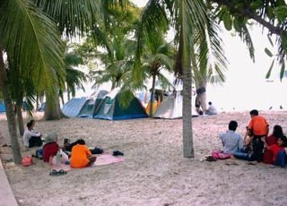 About the park : One of the oldest coastal parks in Singapore, this place brings back memories for Singaporeans who frequented this area in the 60s and 70s. The park is 3.2km long with stretches of sandy beaches between Changi Point and Changi Ferry Road.
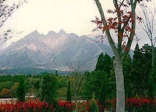 Aso National Park includes two groups of vol- canic mountains, Mt. Aso caldera and Mt. Kuju, the highest (1,79lm) in Kyushu.
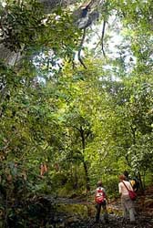
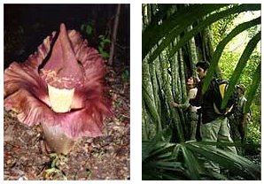 Bali Barat National Park is easy accessible from Gilimanuk, the ferry port where ferries to and from Java come and go. Gilimanuk is reached by ferry from Java or by bus from Denpasar or Singaraja. From Gilimanuk take a minibus or ojek to Cekik for the last three kilometer. Here you will find the PHPA headquarters. An other entry point is Labuhan Lalang, accessible by minibus from Gilimanuk. Labuhan Lalang lies at the main road to Singaraja, which cuts through the park. To reach Pulau Manjangan you can hire a motorboat from Labuhan Lalang (30-40 min).Permits and obligatory guides are available at the PHPA headquarters at Cekik, at the PHPA office in Labuhan Lalang or at the PHPA office in Denpasar.
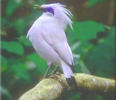 Banteng (Bos javanicus), Wild Boar (Sus scrofa), Rusa Deer (Cervus timorensis), Long-tailed Macaque (Macaca fascicularis), Ebony Leaf Monkey (Trachypithecus auratus), Barking Deer or Muntjac (Muntiacus muntjak), Hawksbill Turtle (Eretmochelys imbricata), Leopard Cat (Prionailurus bengalensis), Pangolin or Trenggiling (Manis javanicus), Large Flying Fox or Kalong (Pteropus vampyrus), Black Giant Squirrel (Ratufa bicolor), Water Monitor (Varanus salvator).