Mae Wa National Park , Lampang, Thailand
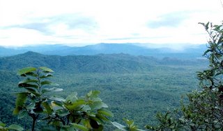 Mae Wa National Park located in Mae Wa, Thoenburi , Lomrat, Mae Pa , Mae Mok, and Wiangmok sub-districts, Thoen district, Phrabatwangtuang sub-district, Mae Phrik district, Lampang province, and Wanchan sub-district, Samngao district, Maesalit sub-district, Ban Tak district, Tak province. It consists of complicatedly high mountains, productive forest which are the habitat of a great number of animals in many kinds, and wonderful places to visit such as Mae Wa Waterfall which has water flow all the year round and been well known by many people. Having convenient way to visit and locating only 19 km. from Thoen District Administration Office, Mae Wa National Park is about 587 square kilometers and has been declared a national park since November 17, 2000.
How To Go Mae Wa National Park
By Car; Use national road number 1 (Asia Highway Road) from Lampang Province to Tak Province and turn left at a byroad between kilometer stone number 498 – 499 for 10 kilometers. In addition, the north part of the surveyed forest is close to national road number 1048 which goes from Thoen District, Lampang Province to Thungsaliam District, Sukhothai Province.Mae Wa National Park address
Mu 2, Mae Wa Sub-district, Thoen, Lampang, Thailand 52230Source : National Park


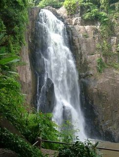 Khao Yai is Thailand's oldest and most revered national park. Spanning four provinces, this 2,000-square-kilometer biological wonderland contains more than 70 mammal species, including tigers and elephants, as well as 320 varieties of birds. It has been declared an ASEAN National heritage site and probably it will be by the United Nations soon, too.
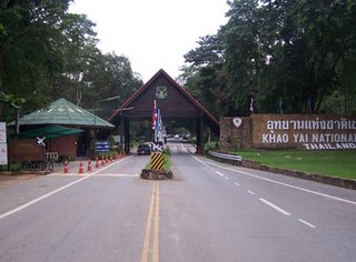 Khao Yai National Park consists of complicated mountains such as Khao Rom, the highest about 1,351 meters, Khao Lam about 1,326 meters, Khao Keaw about 1,292 meters, Khao Sam Yod about 1,142 meters, Khao Far Pha about 1,078 meters, Khao Kampang about 875 meters, Khao Samor Poon about 805 meters and Khao Kaew about 802 meters above sea level. Moreover, the area has vastly grassy field alternating with productive forest. The north and the east part are smoothly sloping down, while the south and the west part are rising up. The area is the source of five main rivers as follows.
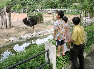 Dusit Zoo, which is the predecessor of the Zoological Park Organization under the Royal Patronage of H.M. the King was established in 1938 by the Municipality of
 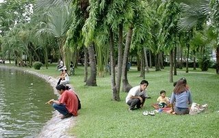 In this zoo, there isn't only the animal zone. There is a rest area as well. This area is used for the families to come here for a picnic or for boyfriend and girlfriend to play on the paddle boat. People can sit on the grass and have some food or sleep, up to them. After they finish their activities, they have to clear up the ground as well, make it look good for other people.
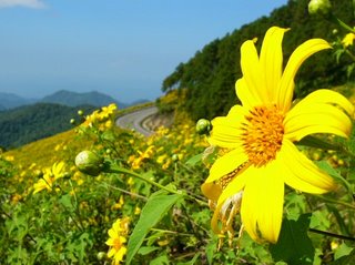 Tung Bua Tong Forest Park located in Mae U Kor Sub-district’ s Moo 6, Khun Yuam District, Mae Hong Sorn Province in
 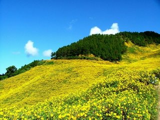 Cool throughout the year. It is very cold in the winter. There are heavy fogs in the morning and cold during the day because of the wind blows all day long. Thung Buatong Forest Park First Choice to Travel and Relaxing In Winter


